16 points of connection
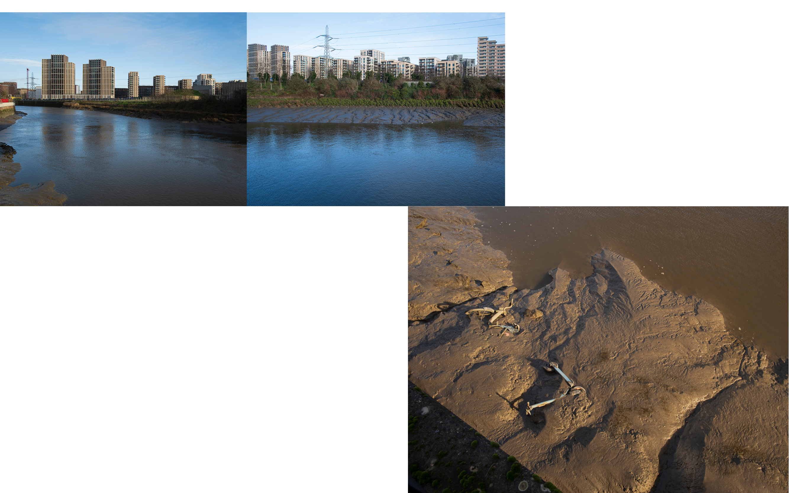
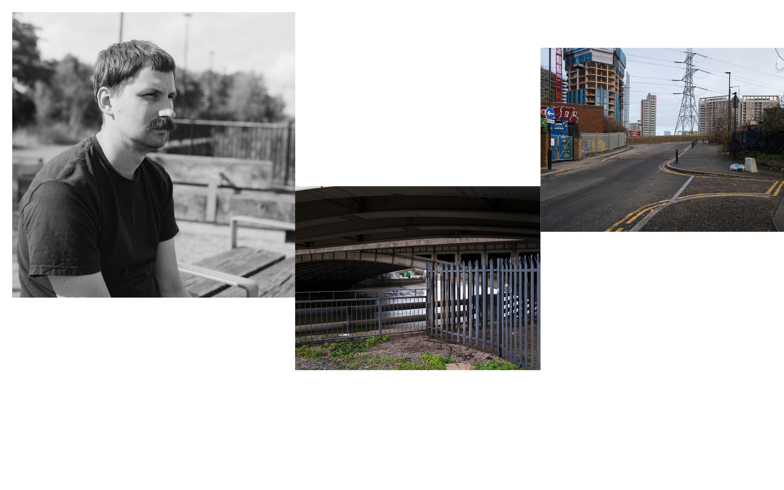
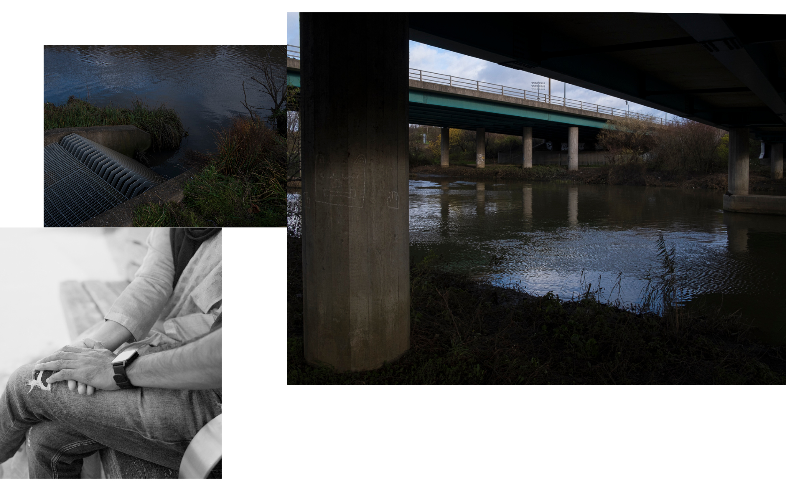
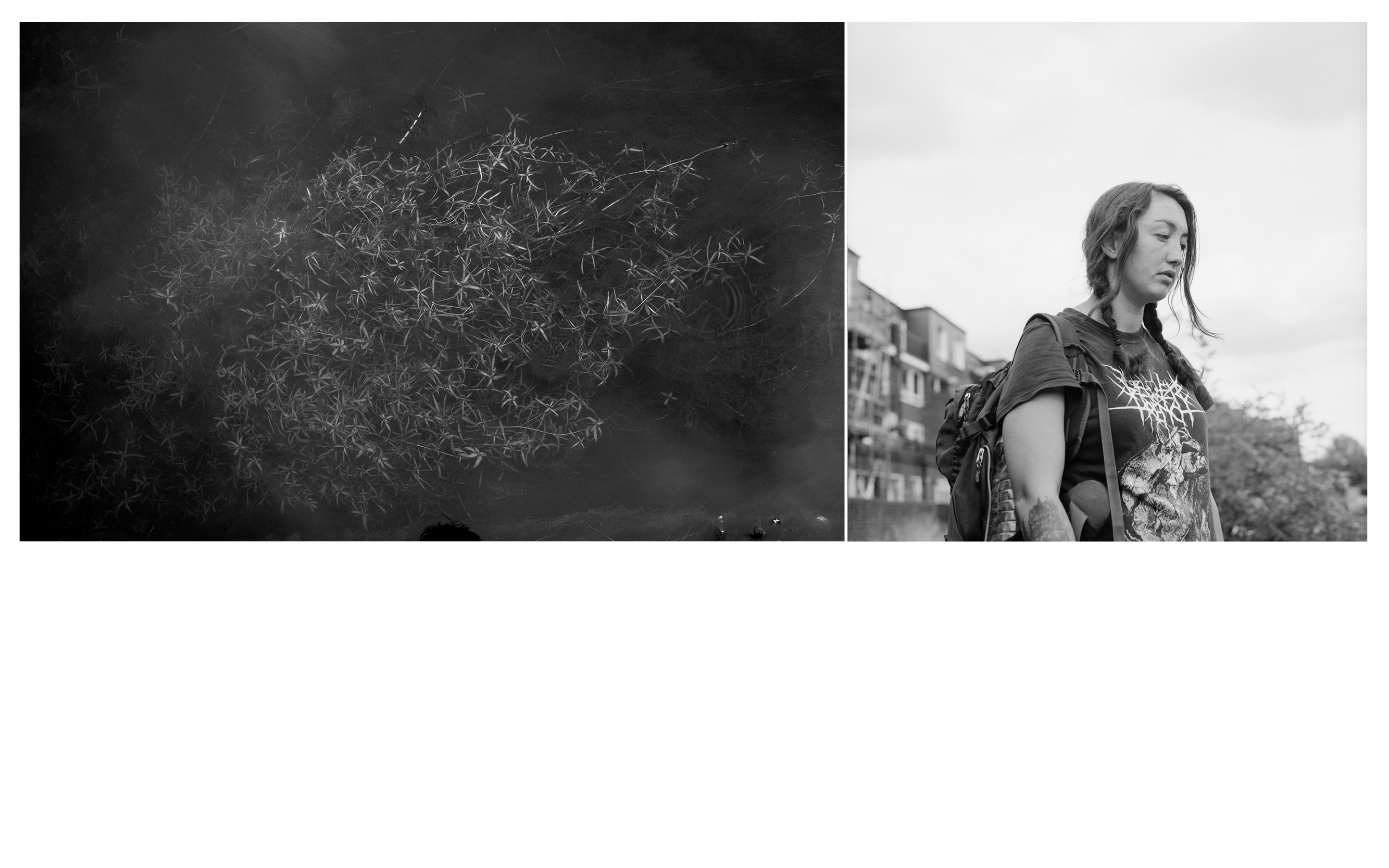
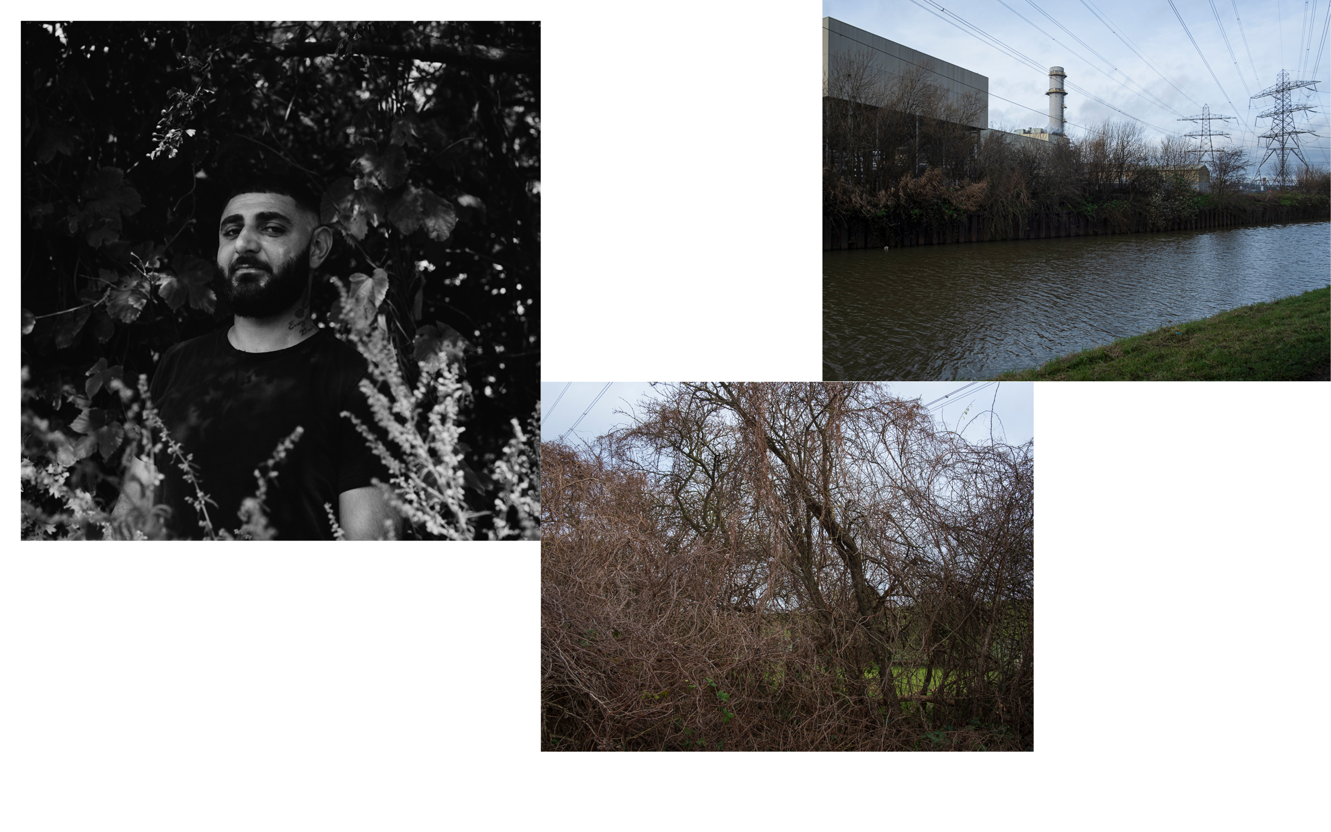
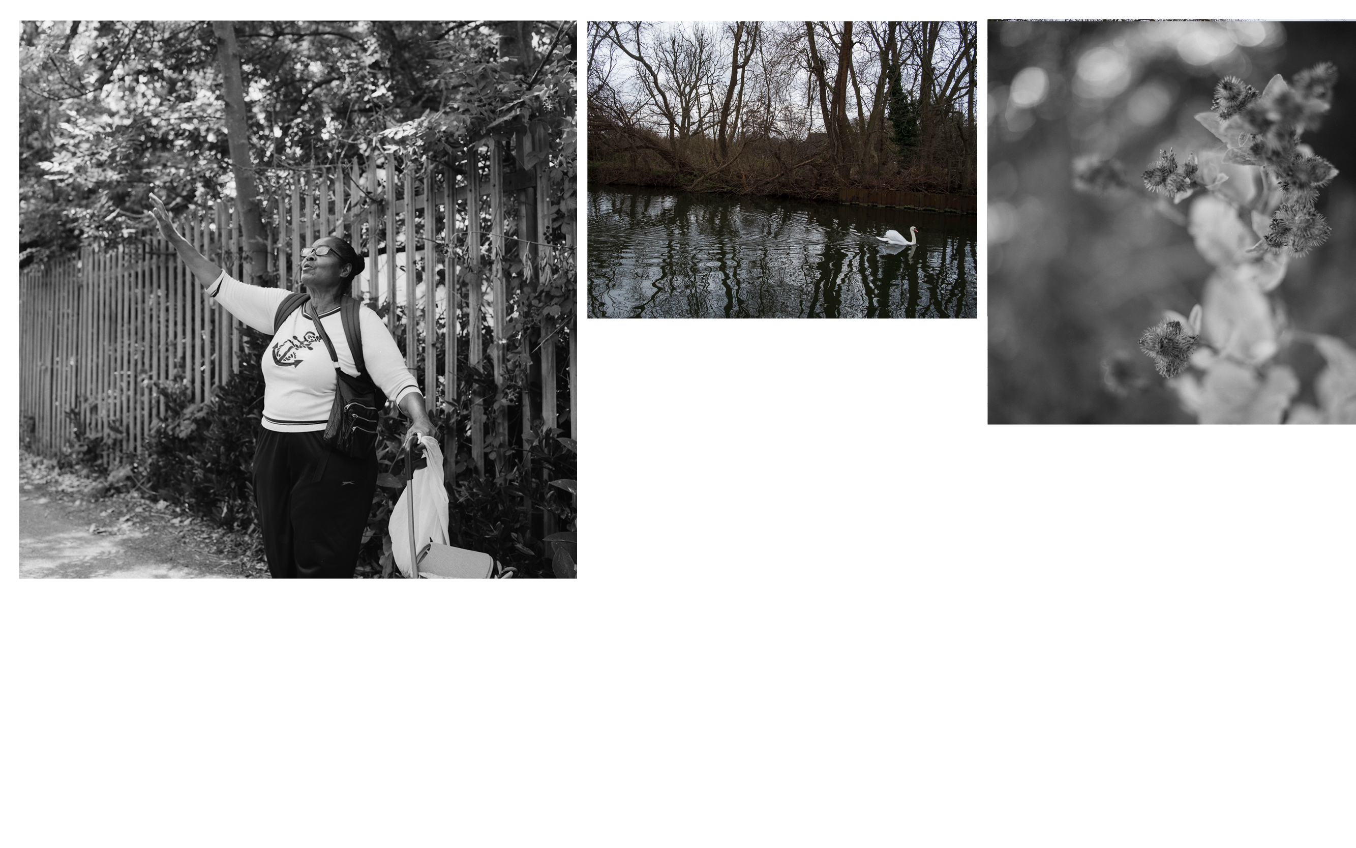
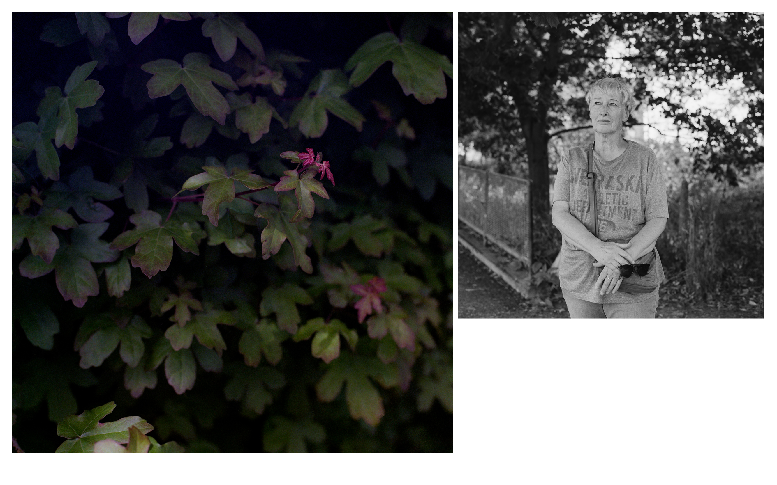
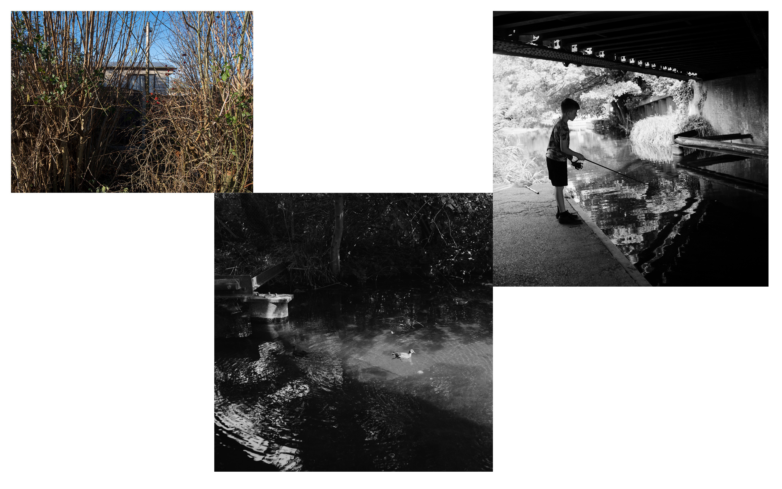
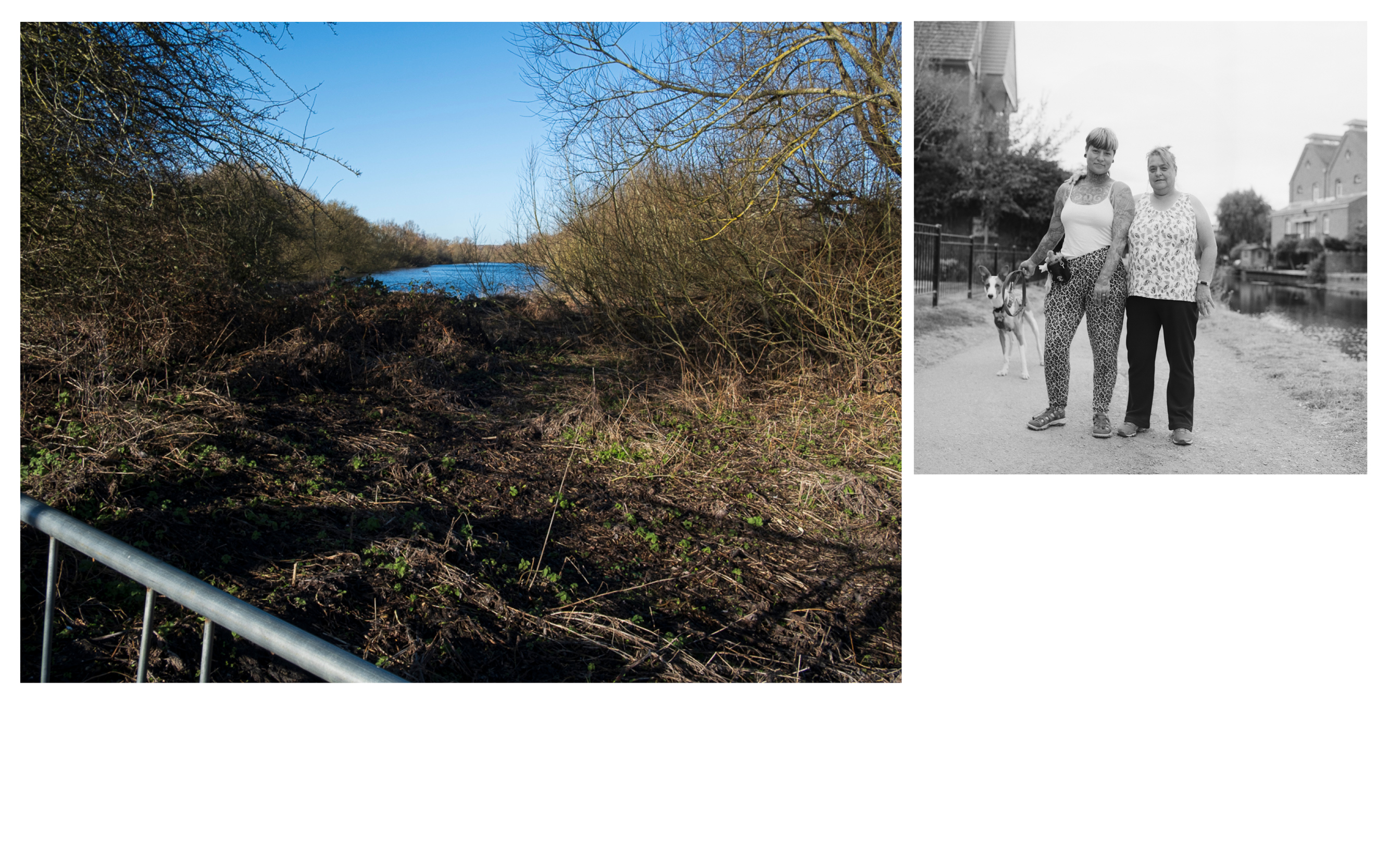
work in progress, 2022-ongoing‘Sixteens point of connection’ takes the title from my ongoing work along the river Lea, the second river of London. When walking the length of the river, a series of portraits developed of the people I met and spoke to. Through conversation and making a photograph together, we shared a moment in time to reflect, connect and restore by the water.
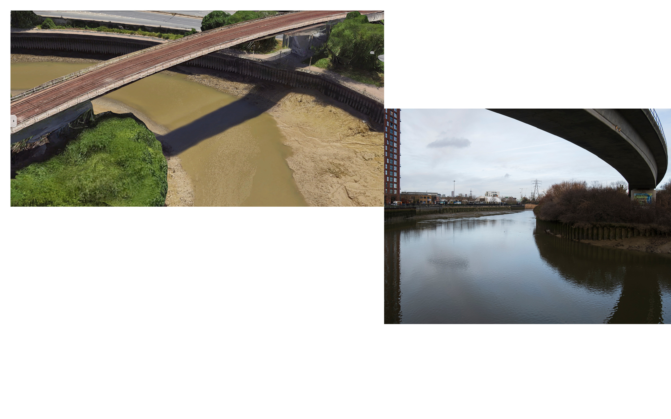
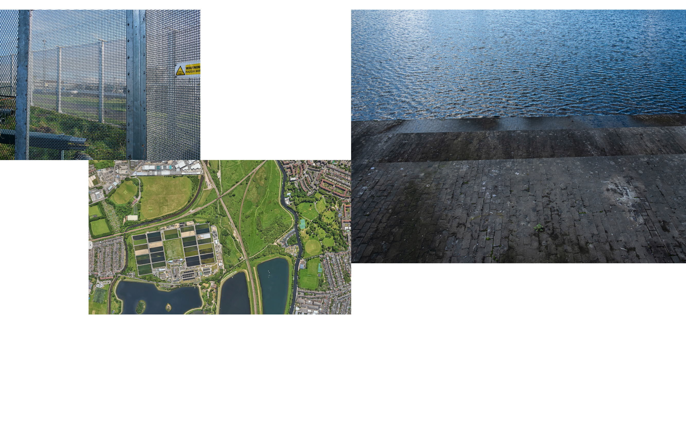
The connection to water, the underlying force of all life, is spiritual. It is also social and political. From Leamouth to Hartford, I have walked through urban development, industry, and marshes, as the river ecology of the Lea continuously shifts and changes along its waterways. I have recorded signs and conditions of access, ownership, and land use through photographing the landscape. I am interested in the varied relationships individuals and communities have built with the waters and land in the Lea Valley.
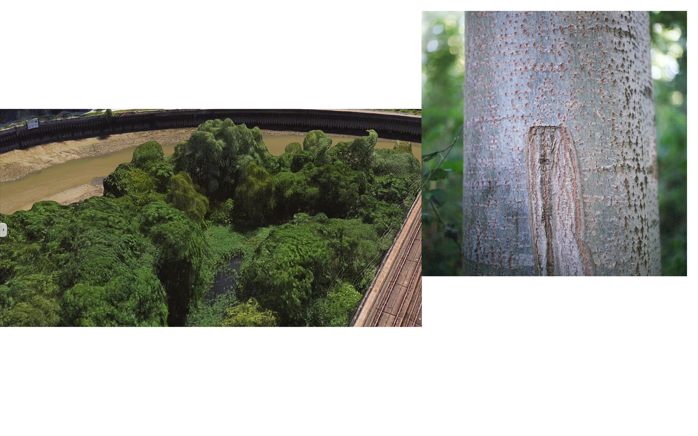
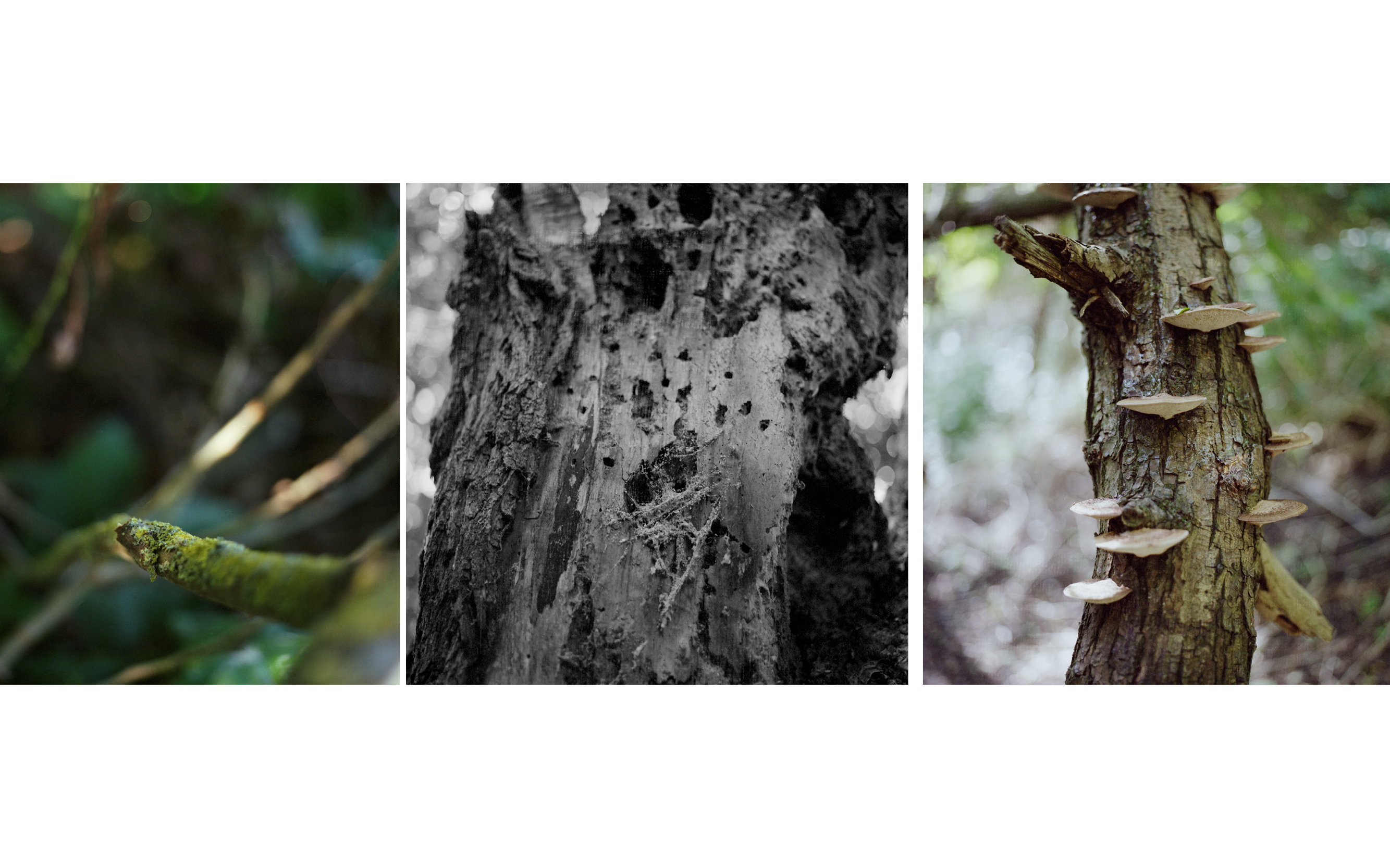
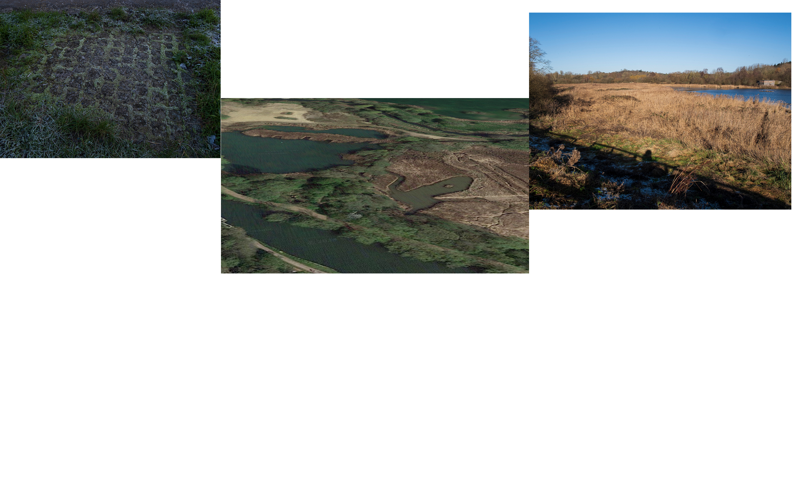
Ongoing photographic experiments record thriving life, underwater and on land. Research materials of water pollution, enclosures along the Lea, and collective resistance in relation to them range from satellite imagery, archive materials and text sources.
The connection to water, the underlying force of all life, is spiritual. It is also social and political. From Leamouth to Hartford, I have walked through urban development, industry, and marshes, as the river ecology of the Lea continuously shifts and changes along its waterways. I have recorded signs and conditions of access, ownership, and land use through photographing the landscape. I am interested in the varied relationships individuals and communities have built with the waters and land in the Lea Valley.
Ongoing photographic experiments record thriving life, underwater and on land. Research materials of water pollution, enclosures along the Lea, and collective resistance in relation to them range from satellite imagery, archive materials and text sources.


Please get in touch if you have a connection to the Lea River and/ or are interested in working with deep mapping methods to explore ecologies around the Lea Valley.
All content © 2012-2023 Tamara Rabea Stoll